About
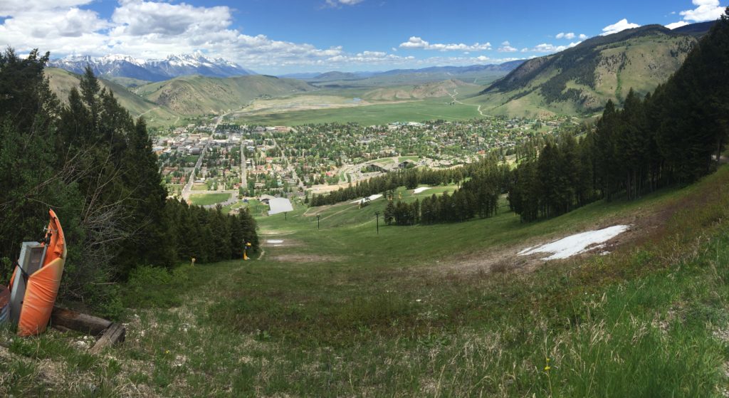
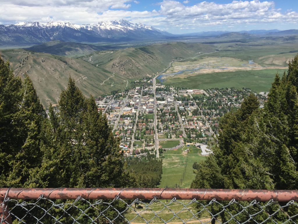
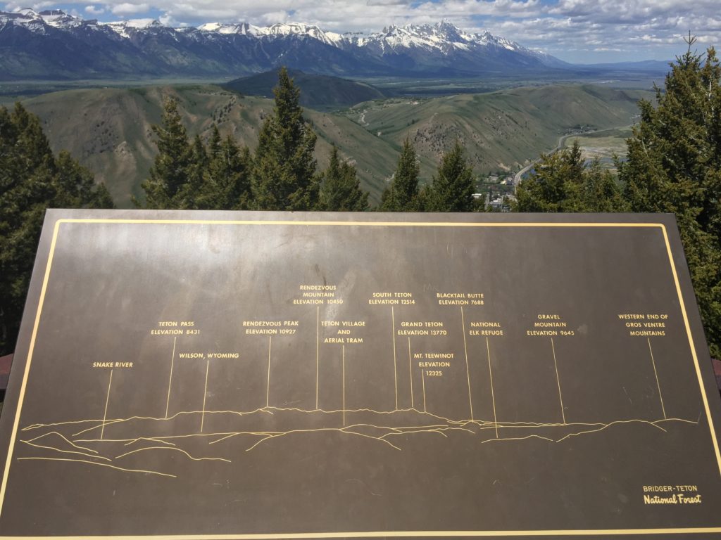
Snow King Mountain is located on the South side of Jackson and is the mountain that contains the ski area visible from downtown Jackson. The mountain has numerous trails on it with several trail heads right in town. If you are looking for a quick hike with great views from town, I would head for Snow King. In a little less than 2 miles (depending on route) you’ll be on the top of the mountain with great views of town and an obscured view of the Teton Range running to the North. Located at the top of the mountain are several facilities that support the ski area operations in the winter, and provide fabulous overlooks in the summer. If you are looking for an overview photo of Town of Jackson or an overview of the Teton Range this is a great spot to catch a photograph. It’s likely one of the best locations (if not the most accessible) to see the entire Teton Range running to the North.
Timing
This can really be hiked at any time of the day and will provide plenty of photo opportunities, however I would recommend early evening first, followed by morning. I hiked it middle of the day in June and the sun was high enough that there was little shade that resulted in a hot hike. Heading up before sunset will give you good shade on the way up and provide a good spot to photograph the sunset behind the Tetons (remember a flashlight for the walk down). Morning will also be nice, you’ll just have the Tetons lit on the front from the morning sun.
Location
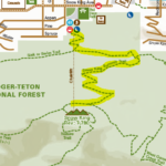
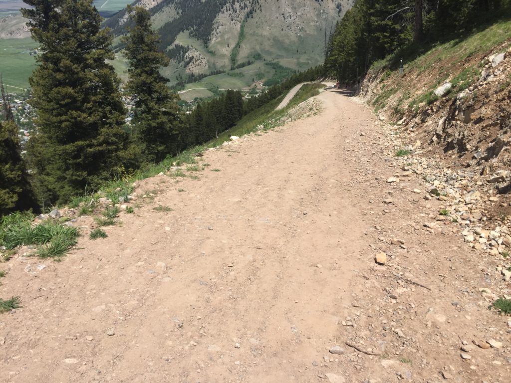
Snow King Mountain is adjacent to the entire South side of Jackson. There are 7 designated trail heads in Jackson to access the mountain, but I would recommend access it from the base of the ski area at Phil Baux Park off Snow King Ave. This location has a nice big parking lot and starts you off with a good orientation of the mountain. The trails aren’t heavily labeled, so when you start at the base pick a trail and veer to your left. When you come to junctions, stay with the main trail (really a road in most places) and switch back up. For most of the hike you will be on switch backs in and out of trees and eventually will pop out at the top and you will see the building. The farthest West building has a great deck that offers great photo opportunities and good shape to a quick break.
 ParkPhoto.net


