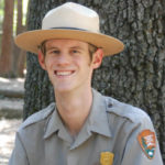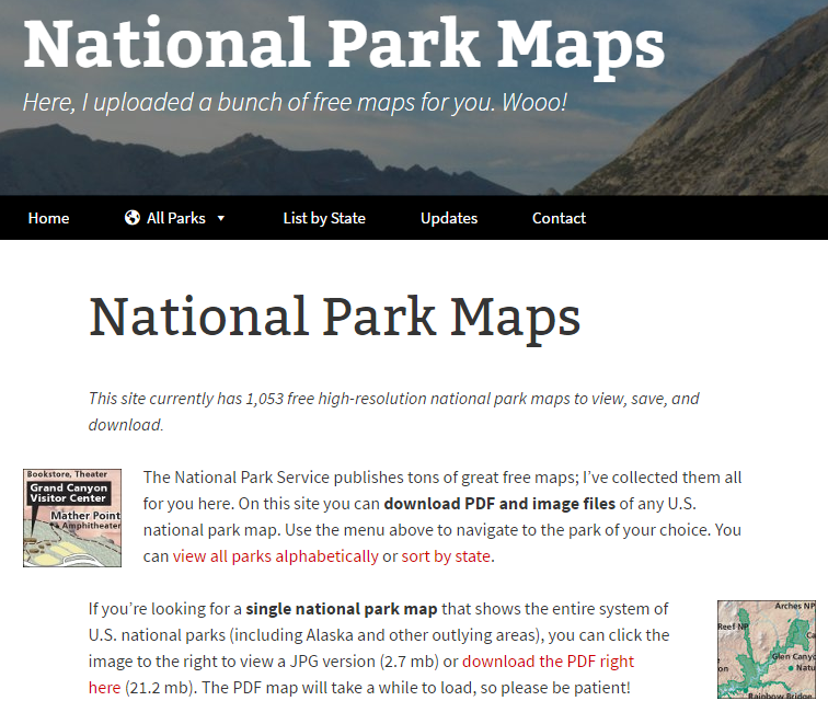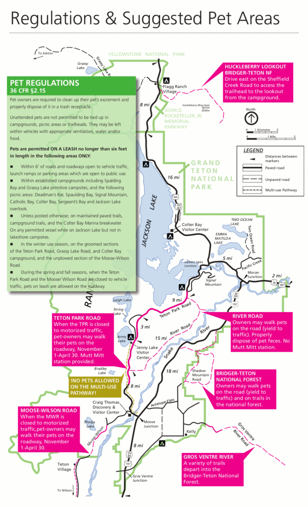
In 2013 NPS Ranger Matt Holly had some down time during the federal government shutdown. He had been frustrated at how much effort it often took to find all the free maps out there for our public lands, so he took his down time and started consolidating them onto npmaps.com. He’s still in the process of compiling maps for many locations, but you’ll currently find most major locations. Matt often cleans the maps up so they are less cluttered and add information such as pet friendly areas. Take a look at npmaps.com for an easy place to grab maps for planning your next trip.


 ParkPhoto.net


